Old Milwaukee Railroad Trail
About the Trail
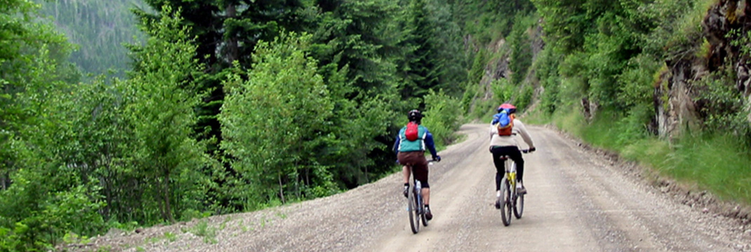
The beautiful river basin Milwaukee Trail starts at Marble Creek and goes 35 miles into St. Maries on a compact dirt and gravel county road. The original rail bed travels along side the scenic St. Joe River which carries designation as “Wild and Scenic” above Avery but is still beautiful though out its flow. The route is basically flat and the road is not well traveled and serves weekend cabins and ranches. As a rail road right-of-way it goes straight even though it changes names several times. Riders must make one decision whether to walk a bridge or circumvent it by peddling a 1/2 mile extra. That decision is included as part of the directions. There are supplies and a restaurant at the Calder General Store. The store also allows cyclists to camp in the back.
Skill Level: Beginner/Flat
Directions to the Trail
- Turn left out of the Marble Creek Historical Interpretive Center and then right onto Northside Road taking the bridge across the St. Joe River. You are now on the Milwaukee Rail Road right-of-way which continues all the way into St. Maries.
- About 10 miles down the road you will come to little town of Calder and 3/4 of a mile ahead is the bridge over Bear Creek. This bridge is barricaded at both ends. You can lift your bicycle over each barricade and walk across and continue on the RR right-of-way or you may wish to circumvent the bridge and take an alternate route onto Trout Creek for 4 miles which only adds 1/2 mile on to the entire ride.
- Turn right onto Calder Road then turn right onto 1st Street cross over the cattle guard onto Trout Creek Road. Trout Creek becomes NFD 746 and you will see a road on your left make a sharp left onto the switchback onto Potlatch Road you are now back on the RR right-of-way.
- After 18 miles you will notice that Potlatch road you are currently on goes up and joins the major St. Joe River Road—stay on the RR right-of-way and cross over the skewed steel trestle over the St. Joe River. The rail bed becomes Railroad Grade Rd.
- As you enter St. Maries turn right onto ID 3 and continue straight on W. College Ave (ID 3 goes right) turn right onto S 4th Street then turn left onto Main Ave arrive at Pines Motel.
Trail is open
Purchase the digital GPS file(s) for this trail
This digital product includes an Avenza Map of this trail. You can use the Avenza Map on your smart-phone while offline to track your progress and annotate your trip. This download also includes GPS data files for use in other handheld/portable GPS. (ESRI Shapefiles, GPX, GeoJSON, KML)
Get your Avenza Map App here:


Additional Routes
off the Old Milwaukee Railroad Trail


