Northern Pacific Trail
About the Trail
The Northern Pacific Rail Trail more commonly know as the NorPac is situated on the old Northern Pacific rail bed and goes from Mullan on into Montana. This multi-use 12 mile paved, compact dirt and gravel alpine trail climbs up and over Lookout Pass and connects two additional rail trails including the award winning Hiawatha Trail and the Montana Olympian Hiawatha trail. This is a developed trail with formal trailhead, table and outhouse. It also includes historical kiosks along the route on the Idaho side of the pass.
Directions to the Trail
- To reach the NorPac follow the “ying and yang” Northern Pacific logo signs leaving eastward from the Trail of the Coeur d’Alene Mullan Trailhead.
- At first, this trail travels along a quiet paved county road and bears to the right at the “Y” in the road. It continues to East Shoshone Park but does not enter the park but goes to the right of the entry for 1 mile and then goes to the extreme right following the hair pin turn at the first kiosk.
- The trail continues to the main Willow Creek Trailhead and then makes a hard left, then just stay on the trail until you reach the summit.
- If you are using the trail as a connector to the Hiawatha’s take the right hand road out of the Lookout Pass Ski Resort parking lot.
- For a less strenuous family ride park one car at Lookout Pass and another Shoshone Park and coast down for lunch. Or get dropped off and cruise downhill into Wallace.
Skill Level: Downhill/easy with some exceptions; uphill/moderate
Trail is open for bicycling

Purchase the digital GPS file(s) for this trail
This digital product includes an Avenza Map of this trail. You can use the Avenza Map on your smart-phone while offline to track your progress and annotate your trip. This download also includes GPS data files for use in other handheld/portable GPS. (ESRI Shapefiles, GPX, GeoJSON, KML)
Northern Pacific Trail Digital Map
$5.00
Description
This digital product includes an Avenza Map PDF of this trail. You can use the Avenza Map PDF on your smart-phone while offline to track your progress and annotate your trip. This download also includes a ZIP file containing GPS data files for use in other handheld/portable GPS applications such as Google Maps (KML), Garmin (GPX) or other GIS Software. (Shapefiles, GeoJSON)
File size: 3.3 MB zip file
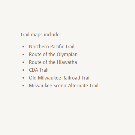
Trail maps include:
- Northern Pacific Trail
Get your Avenza Map App here:


Additional Routes
off the Northern Pacific Trail

